Explore the journey — one trail, museum, meal, and memory at a time.
Talkeetna Chase Bike Trail
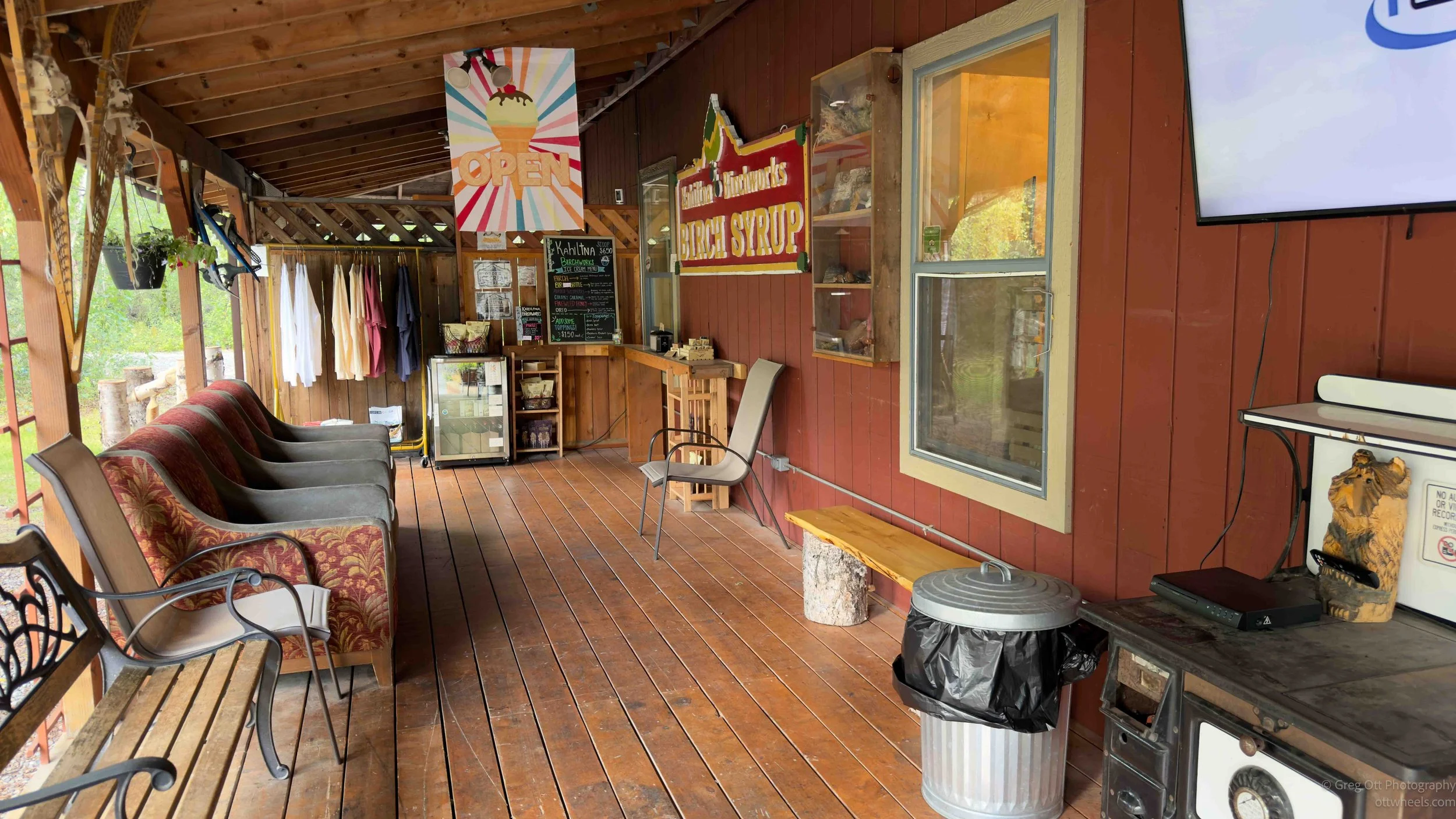
Rain kept me busy sorting through over a thousand photographs before the skies cleared for a bike ride along Talkeetna's Chase Trail. Along the way I discovered Alaska birch syrup, sampled surprisingly good birch ice cream, enjoyed a local nitro stout at the Denali Brewpub, and ended another relaxing day in one of Alaska's most welcoming small towns.
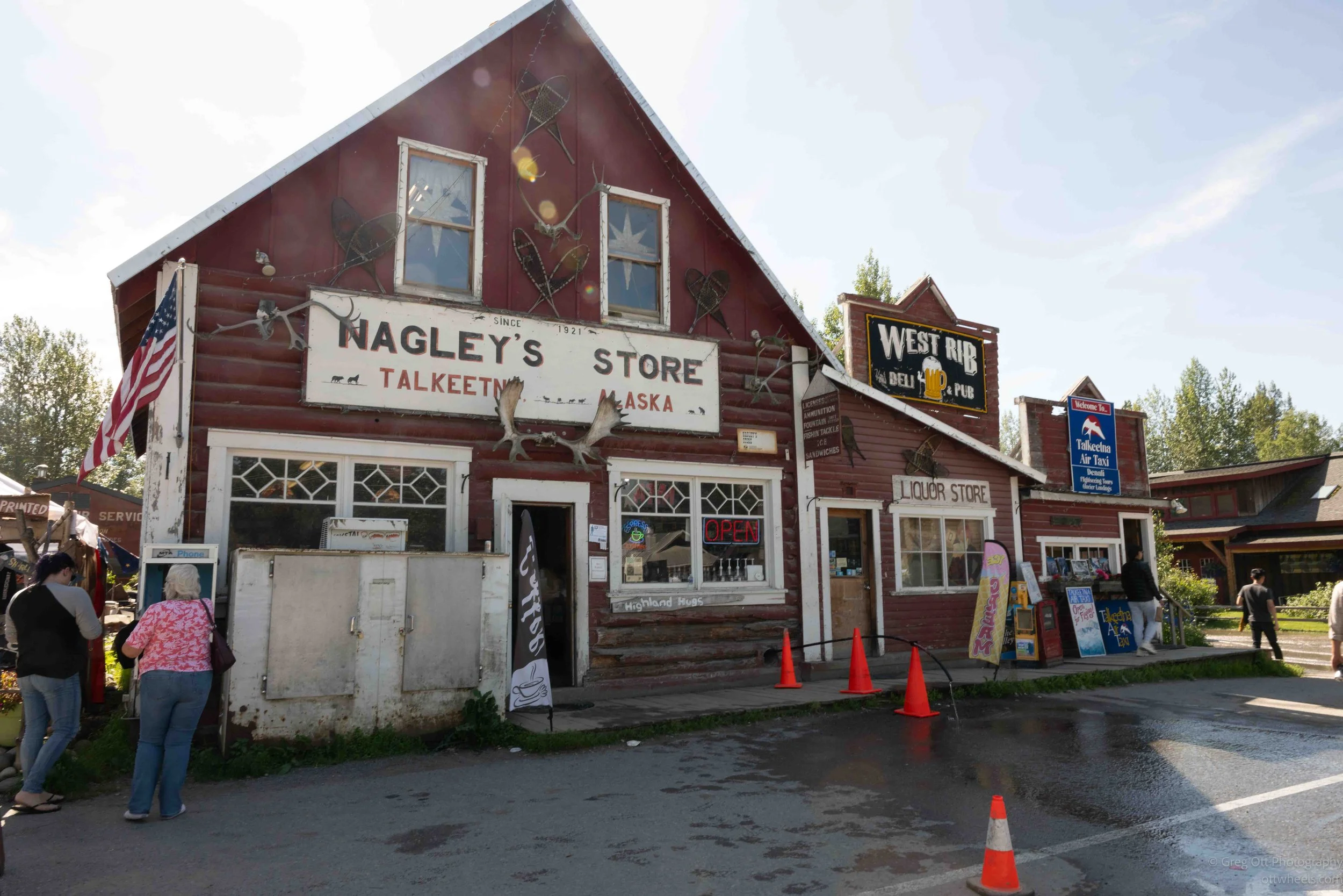
Exploring Historic Talkeetna After a Denali Flight
After my Denali glacier flight, I spent the afternoon wandering historic Talkeetna. From its railroad history and colorful downtown to Denali views, Bell's Interpretive Trail, local shops, and a memorable dinner, it was the perfect way to experience one of Alaska's most popular small towns.
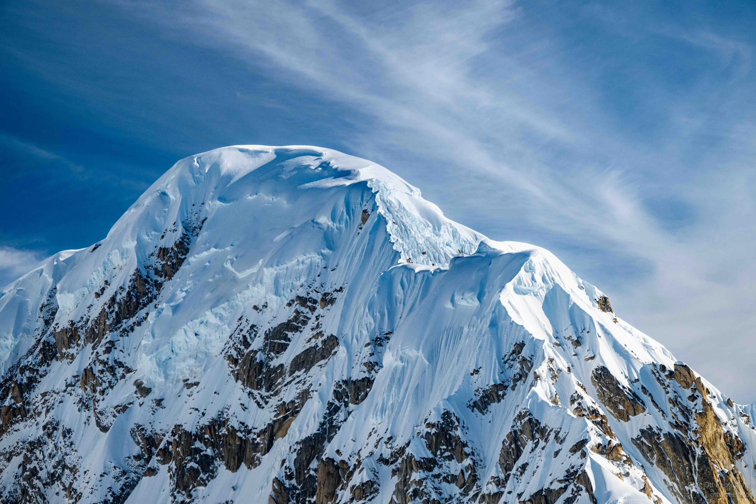
Denali Grand Tour with Glacier Landing
A perfect Alaska morning takes me on K2 Aviation's Denali Grand Tour with Glacier Landing. From braided rivers and towering granite peaks to a landing on the Ruth Glacier inside the Don Sheldon Amphitheater, this flight offered some of the most spectacular scenery I've experienced in Alaska.

Chugach State Park
A rare sunny Alaska day leads me to Chugach State Park, where I hike the quiet Eydlu Bena Loop Trail, come face-to-face with a hawk hidden in the forest, photograph wildflowers overlooking Eklutna Lake, and end the evening relaxing in Wasilla after watching SpaceX's Starship launch.

Preparing for the Road North
Anchorage was supposed to be a quick stop before heading north. Instead, it became two days of running errands, searching for brake service, learning about Alaska's shortage of mechanics, working from the van, and preparing for the drive toward Talkeetna, Denali, Fairbanks, and eventually the Arctic Circle.

Ninilchik, AK
Rain forced me to slow down in Ninilchik, Alaska, where I spent hours photographing the historic Holy Transfiguration Church and its remarkable overgrown cemetery. Between rain showers I explored the area's Russian history, searched for Old Ninilchik Village, and reflected on how nature quietly reclaims even our oldest stories.

Homer - Grewingk Glacier Hike
Up before sunrise in a Homer church parking lot, then coffee at Coal Town before a water taxi across Kachemak Bay. The hike to Grewingk Glacier brought a black bear with cubs, porcupine scratches, and dozens of rock cairns, ending at a lake ringed by mega tsunami warning signs, an old herring saltery, and wildflowers worthy of Van Gogh.
Homer, AK
Heavy rain forced me indoors, but the Pratt Museum turned out to be one of the highlights of my time in Homer. Exhibits on Alaska's boreal forest, Indigenous history, volcanoes, earthquakes, and the Exxon Valdez oil spill made for an unexpectedly engaging day. After lunch at Fat Olives, I spent the evening exploring the Homer Spit, talking with a fishing charter captain, enjoying authentic Italian gelato, and ending the day with another reminder that some of the best travel experiences come from unexpected conversations.

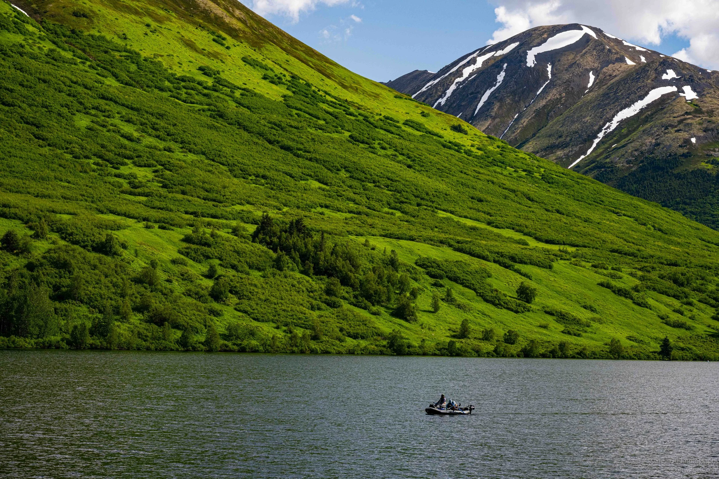
Cooper Landing (2 Days)
Rain followed me from Seward into Cooper Landing, but it didn't stop me from hiking to Russian River Falls. What began as a day photographing salmon became something entirely different after a serious accident near the falls brought Fire and EMS racing up the trail. Between the rescue, hours spent photographing salmon, and conversations with strangers from across the country, it became one of the more memorable days of my Alaska journey.
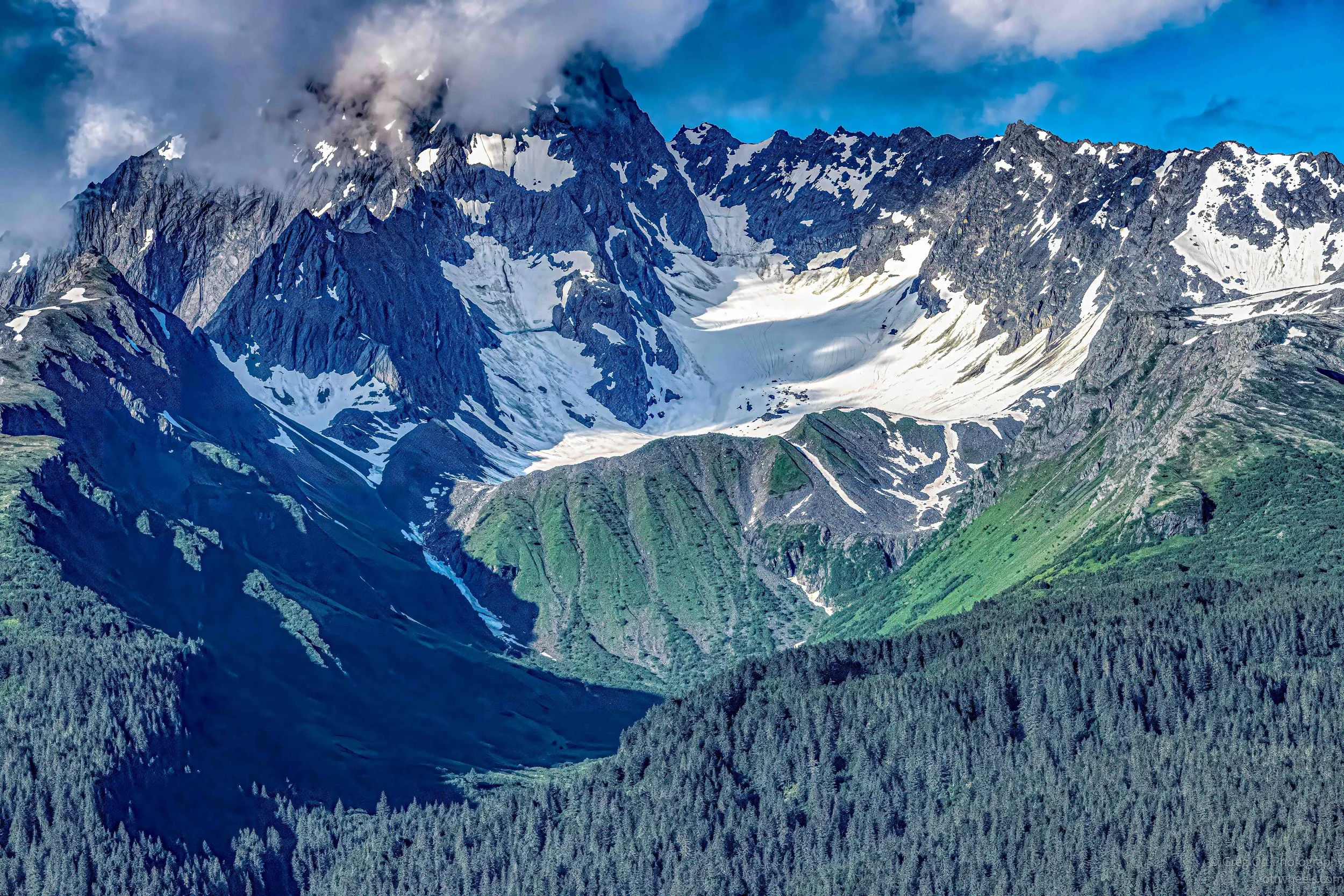
Exit Glacier and Seward, AK
After finally feeling healthy again, I returned to Exit Glacier on a perfect blue-sky afternoon. A moderate hike through Kenai Fjords National Park led to spectacular glacier views, vibrant wildflowers, and unexpected conversations with hikers from around the world. I finished the day with sunset photography and gelato along Seward's beautiful waterfront.

Seward: Alaska SeaLife Center
A rainy day in Seward didn't stop the adventure. After taking refuge inside the Alaska SeaLife Center, I explored the town's historic buildings, photographed Resurrection Bay during a brief break in the weather, and finished the evening with a drive to Exit Glacier. Sometimes the best travel days are the ones that refuse to follow the original plan.
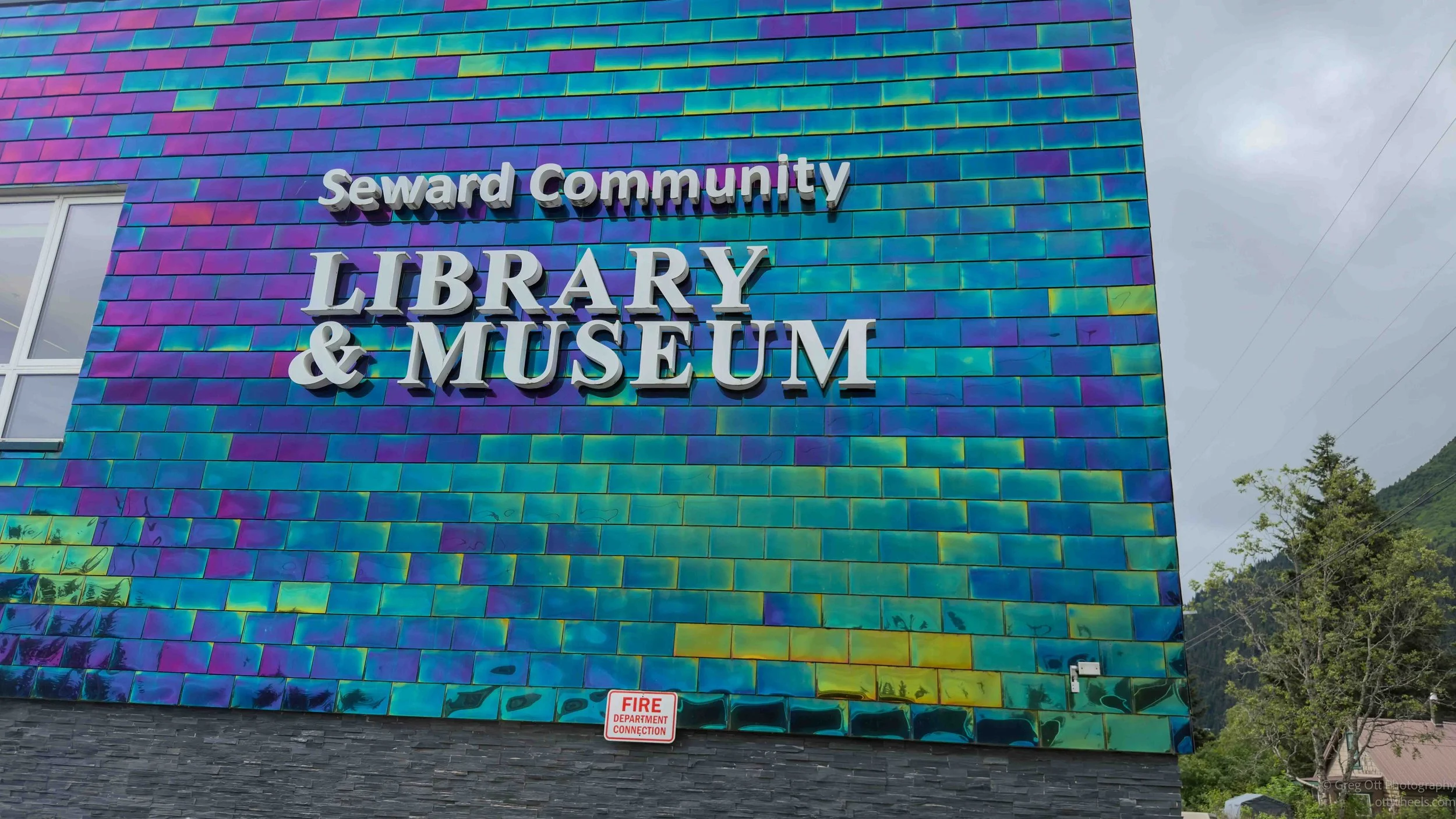
Seward AK
After an incredible day exploring Kenai Fjords National Park, illness and steady rain forced me to slow down. What began as two quiet days of coffee shops, bakeries, and photo editing turned into an unexpected journey through Seward's history, from the 1964 Good Friday earthquake and the original Iditarod Trail to a fascinating Tribal Nations map that offered a new perspective on the incredible diversity of Indigenous cultures across the Americas.
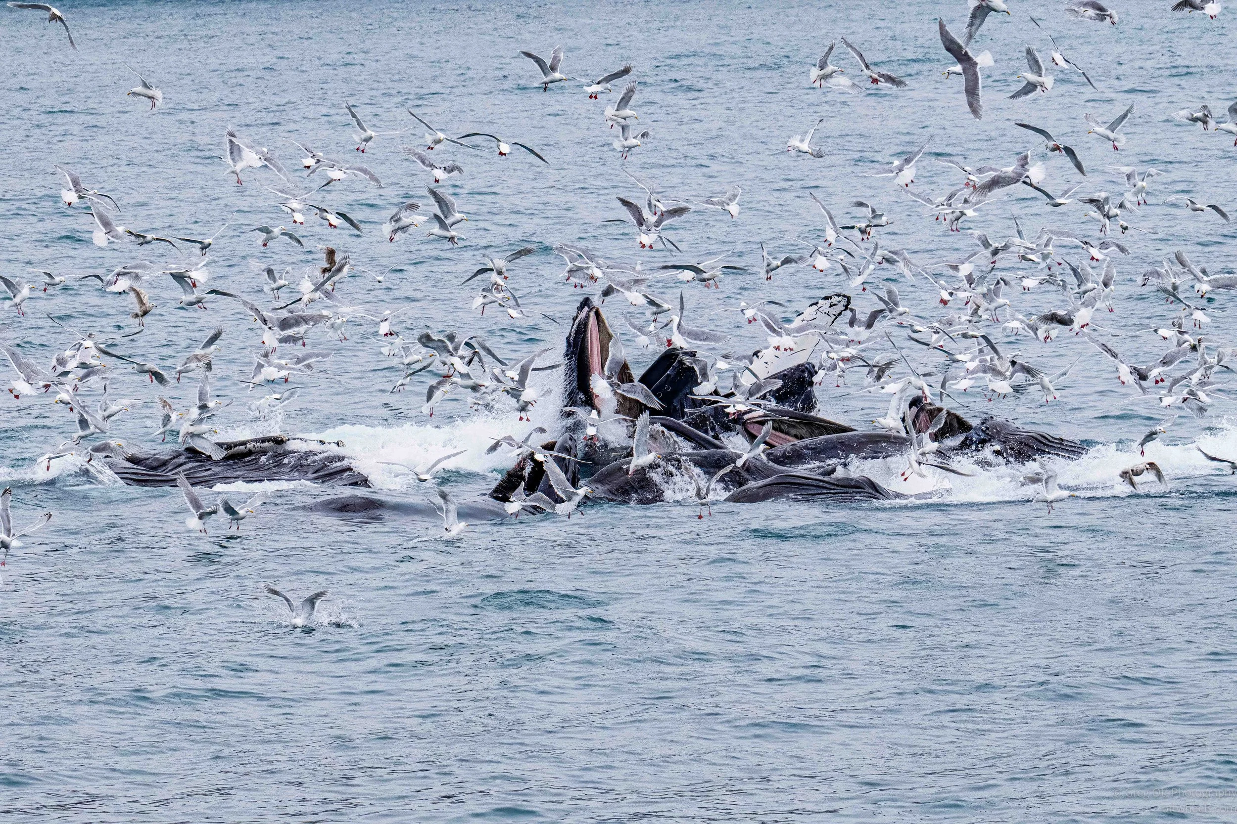
Kenai Fjords National Park Extended Glacier Cruise:
A full day aboard Major Marine Tours' Kenai Fjords National Park Extended Glacier Cruise turned into one of the highlights of my Alaska journey. From bubble-net feeding humpback whales and towering tidewater glaciers to puffins, sea lions, and breathtaking coastal scenery, this cruise delivered unforgettable wildlife and landscapes.
Anchorage to Seward, AK
My final day in Anchorage wasn't quite what I expected. Between feeling sick, buying more camera gear than planned, and making the drive to Seward, I was focused on one thing: being ready for the Kenai Fjords glacier cruise the next morning. I just hoped whatever bug I had would disappear overnight.
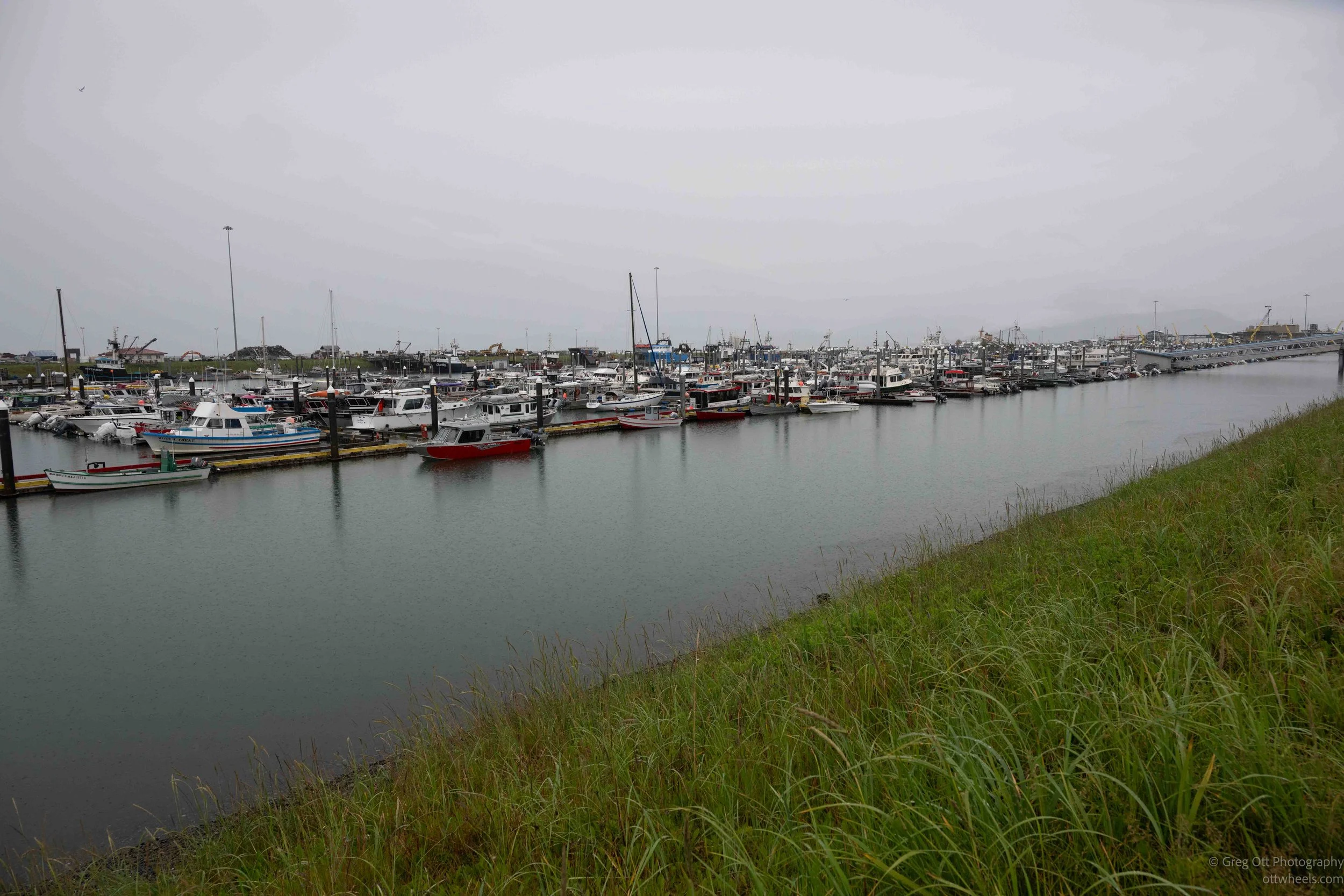
Dutch Harbor WWII History Museum
Getting from Dutch Harbor back to Anchorage should have been easy. Instead, the day turned into a series of delays, missed opportunities, and unexpected conversations. Along the way I finally visited the Aleutian World War II Visitor Center, where the story of the Japanese bombing and the Lost Villages gave me a much deeper appreciation for the people who call these remote islands home.
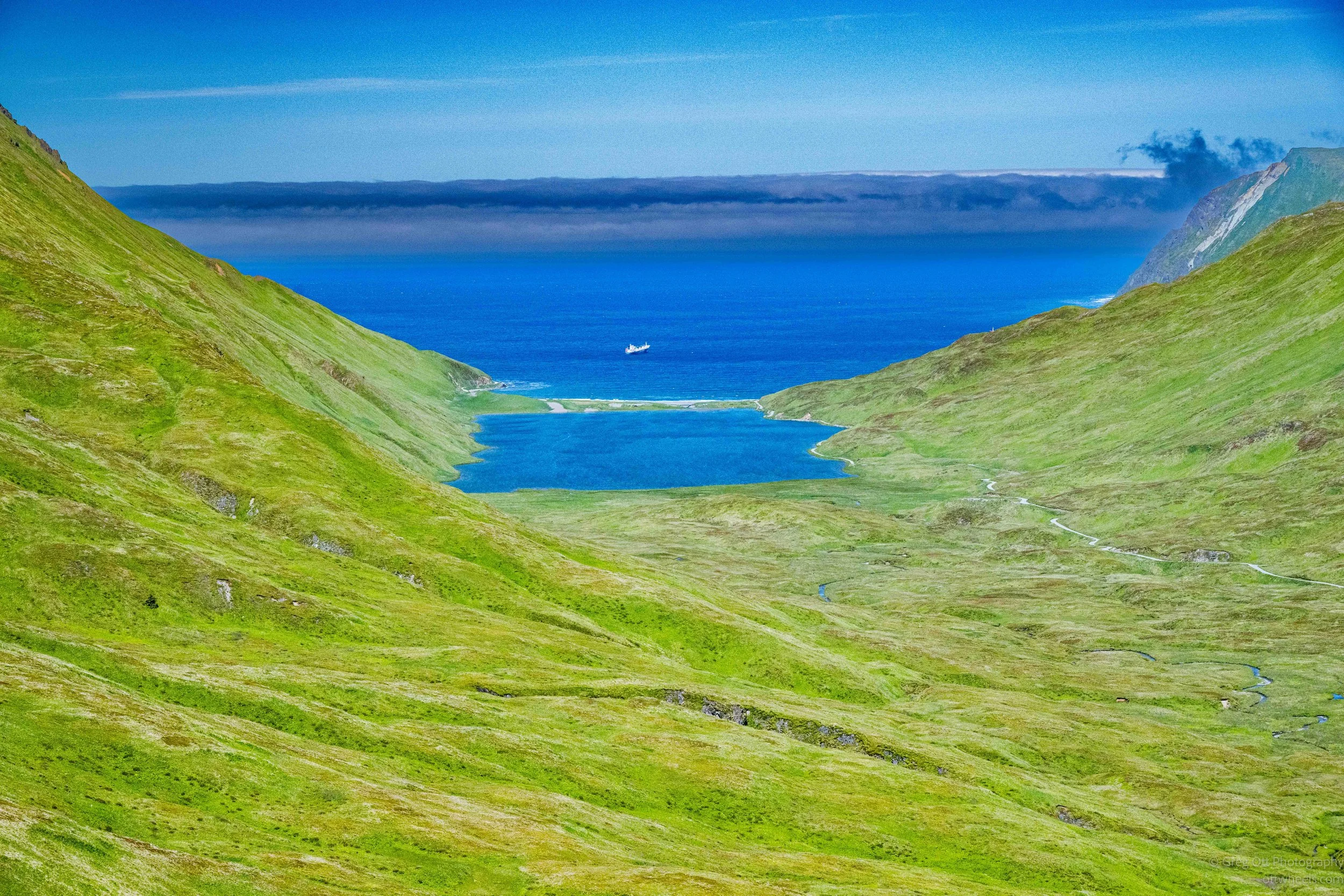
Understanding Unalaska / Dutch Harbor
The best way to understand Dutch Harbor isn't from a guidebook—it's from someone who has spent a lifetime living there. Dennis and Lynda took me beyond the familiar landmarks to explore World War II history, hidden military sites, local stories, volcanic landscapes, and the geological forces that continue to shape Unalaska today.
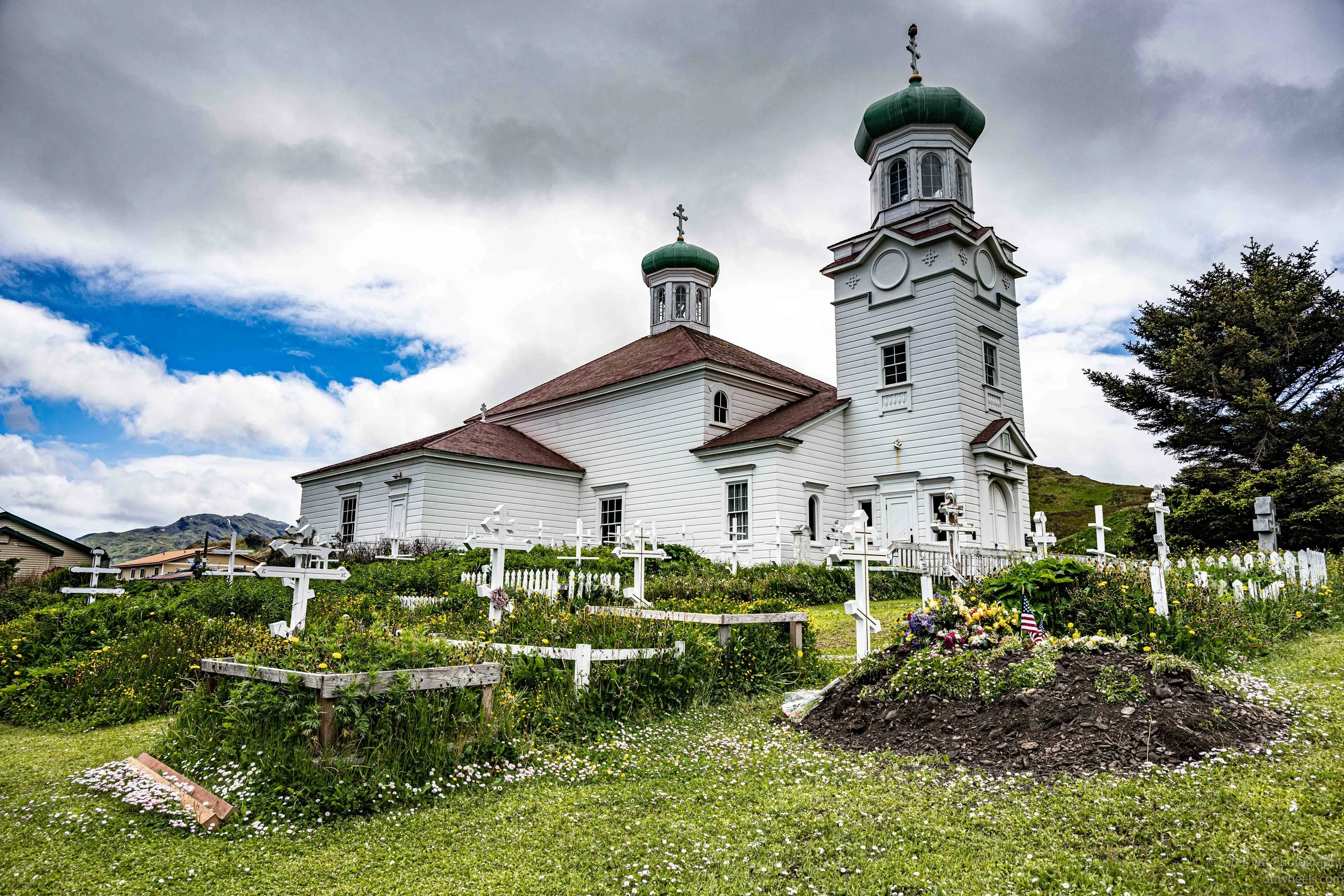
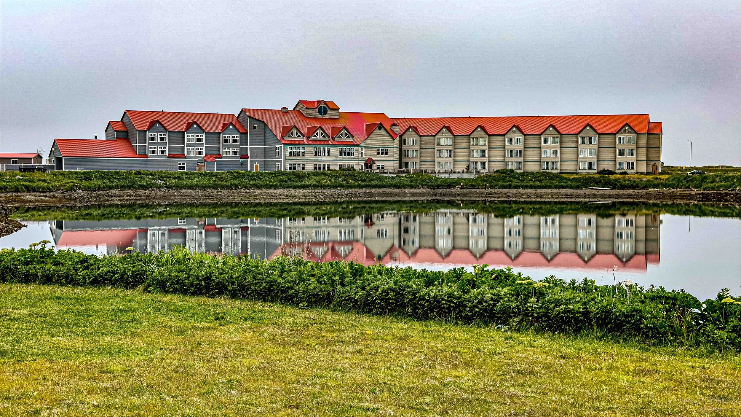
Dutch Harbor, Amaknak Island, Unalaska
After arriving in Dutch Harbor, I walked from Amaknak Island across the Iliuliuk Bridge into the City of Unalaska. Along the way I photographed bald eagles, explored World War II history, visited one of North America's oldest Russian Orthodox churches, and spent time with a local family harvesting salmon.
Between Adventures
After the Fourth of July excitement in Anchorage, I slowed down for two quiet days of writing, photo editing, organizing gear, and preparing for my flight to Dutch Harbor. Between catching up on work, reflecting on the journey so far, and reviewing the Anchorage Ship Creek RV Park, these ordinary days became an important transition before heading into Alaska's Aleutian Islands.

Happy 250th America
I missed the Anchorage Fourth of July parade but still ended up with a full day downtown. The festival at Delaney Park, conversations with locals, a Hefeweizen at the 49th State Brewery, and fireworks from a local's viewing spot made for a day that didn't go quite as planned—but worked out well anyway.
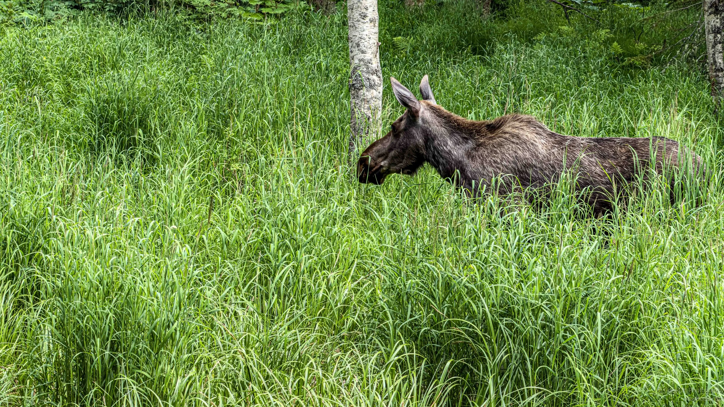
Anchorage Cycling Trails
Anchorage surprised me. What started as a casual bike ride turned into an afternoon exploring miles of interconnected trails, watching moose from a safe distance, learning about the 1964 earthquake at Earthquake Park, and discovering just how bike-friendly Alaska's largest city really is.