Crabtree Falls
Crabtree Falls Campground
It was a little chilly, dipping into the low 40’s, but the stream from the falls was 100 feet below. When I booked the campsite, I was asked if I wanted to be next to the stream. I declined because it meant I’d have to carry everything down hill and there was no table to sit at. In hind site, it would have been fun to wake and look out the tent at this beautiful stream 10 feet away.
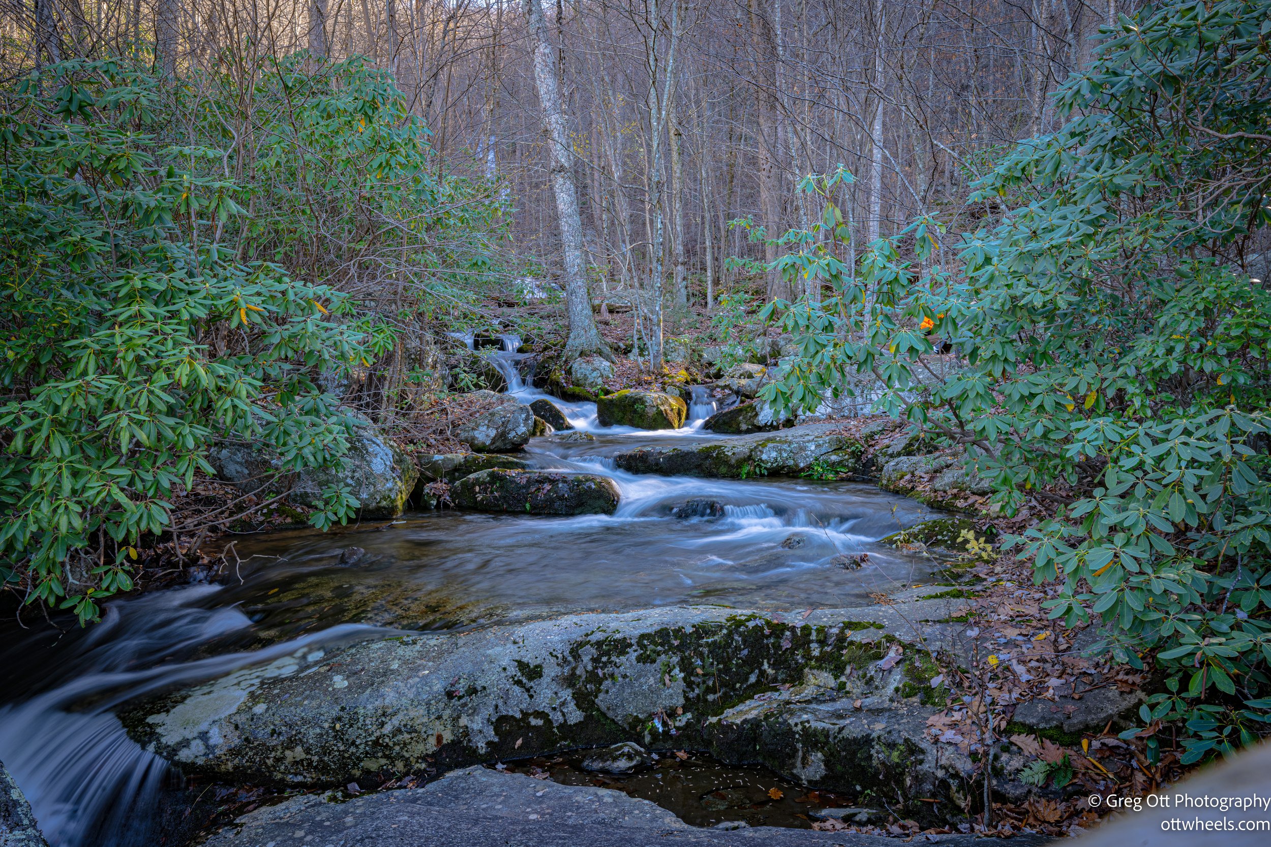
I was up at 7:00 am and packed all the gear into the car except for the stove and food. I made pancakes and a strong cup of coffee. I knew I wanted to spend time photographing the falls and hike to the AT above the falls. After getting everything cleaned up and packed, I decided to take some photos of the stream below.
Using the tripod and longer exposures, I played with getting images of the stream with the white brush strokes of a painter.


Crabtree Falls
By 9:30 am, I drove up the hill to the Crabtree Falls park entrance and grab an envelope to register my car. Once again there was no charge because of my lifetime national park pass. AllTrails described the Crab Tree Falls trail as a moderate 3.6 mile hike out. With my added miles the roundtrip was 8.3 miles.
The falls cascade over the side of a mountain which looks like one large piece of rock from the bottom.
The first part of the hike is a 1.7 mile zig-zag hike that climbs the mount beside the falls. There are many warning signs about going off the trail and the large number of people that have died from slipping on the rocks. I stopped many times on the way up to take photos of the falls. There were no open views of the entire falls to the top because of the trees. There were plenty of opportunities to capture photos all the way up. There was one interesting rock formation where massive boulders had come down the mountain and lodged themselves on top of each other to form a cave.


After reaching the top, the trail flattens out for another 1.5 miles and comes out at the upper parking lot. I met two guys near the parking lot and asked them how far it was to get to the appalachian trail. One said it was a half mile and the other said no its 3 miles. When I go to the parking lot there were two signs, one pointing up the hill that said .5 miles. The other sign said 3 miles and pointed down the road. I took the the short route up the hill along the stream. I arrived at the top and stopped at the AT. There was a Toyota truck parked near the trail with camping gear on the back. There were signs indicating that the AT trail outhouse was full and hence was closed for health reasons. There were instructions on how to dig a hole and hide your excrements.
On the way back, I met the same two guys coming back up the hill and they asked me if I made it to the AT and how far it was. We chatted for while. Their names were John and Barry (nickname The Bear). They had been hiking together for years and had a lot of good feedback on places to hike in Virginia.
The trip down the hill was very quick. I did stop to capture a few more photos of the stream and ponds. The light had changed and the stream and ponds looked different.


I met families and couples along the way and chatted with a lot of people as we carefully made our way down a wet trail. One woman, Christina said to me, “Nice camera” as we passed. Christina had a lot of energy and a great smile. We chatted for a little bit and I told her what I was up to. She is an avid hiker and suggested many great hikes in Virginia, which I added to the itinerary (Cascade Falls and McAfee Knob were two). I took a few photos of her and her friend Heather.
Heather and Cristina
Blue Ridge Parkway VA
After leaving Crabtree Falls, I realized that I was close to the Blue Ridge Parkway. The air was crisp and perfect for photographs. I found the on ramp and sat their for 5 minutes checking Google Maps and I didn’t see a car. I pulled on the parkway and drove 30 miles on an almost empty roads. The views were spectacular and I pulled off many times to capture photos. I was on my way to Christiansburg public library.
The views were spectacular.


