Thumb Butte Trail 33
I woke around 7:00 am to the sound of a rooster. The ranger in charge of the area, apparently had chickens and the rooster was letting everyone know it was time to get our days started. The sun was shinning brightly on the campsite and it felt warm in the sun.
In an attempt to use up some of the food I had, I made pancakes. While the pancakes were being grilled, I ground some fresh French Roast coffee beans and made a strong cup of coffee. I finished off the pancake mixed and made far too many pancakes. I had to eat them all of course.
The dishes somehow got washed and I setup a chair in the sun. For the next few hours, I sat in the sun, sipped fresh coffee and read a book. The Hidden Life of Trees by Peter Wohlleben is a fascinating and enlightening book about the complex world of trees and forests. The book provides a wealth of information about how trees communicate with one another, form social networks, and work together to survive in challenging environments.
Thumb Butte Trail 33
I decided to hike the Thumb Butte Trail 33, a popular hiking trail located in the Prescott National Forest. Alltrails indicated this was a 2.4-mile loop trail offering stunning views of the surrounding landscape. This include the iconic Thumb Butte rock formation, which stands at an elevation of over 6,500 feet.
The trail begins at the Thumb Butte picnic area, near the parking lot. From there, the trail ascends steeply on the left up the side of Thumb Butte, offering challenging but rewarding hiking through rocky terrain and stands of ponderosa pine. Note, this part of the trail is entirely paved to prevent erosion. It’s switchbacked most of the way up.
Climbing higher, hikers are treated to breathtaking views of the surrounding mountains and valleys, including the nearby Granite Mountain Wilderness. At the very top, access to parts of the trail were closed off from February to mid-July for Peregrine Falcon Nesting. I tried to capture an image of one high up, but it was just a black dot in the sky.
When you walk through forests, you begin to notice differences between forests. This forest seemed stressed and dry. There were gaps in the forest and a lot of damage to the bark. I came across a plaque that read, “During 2002 and 2003, the combination of drought and high tree densities resulted in a bark beetle epidemic that killed approximately 18 million Ponderosa Pines across 662,000 acres in Arizona. In 2004, live trees and beetle-killed trees were removed from this area.” This explained the large gaps in the forest at certain points.
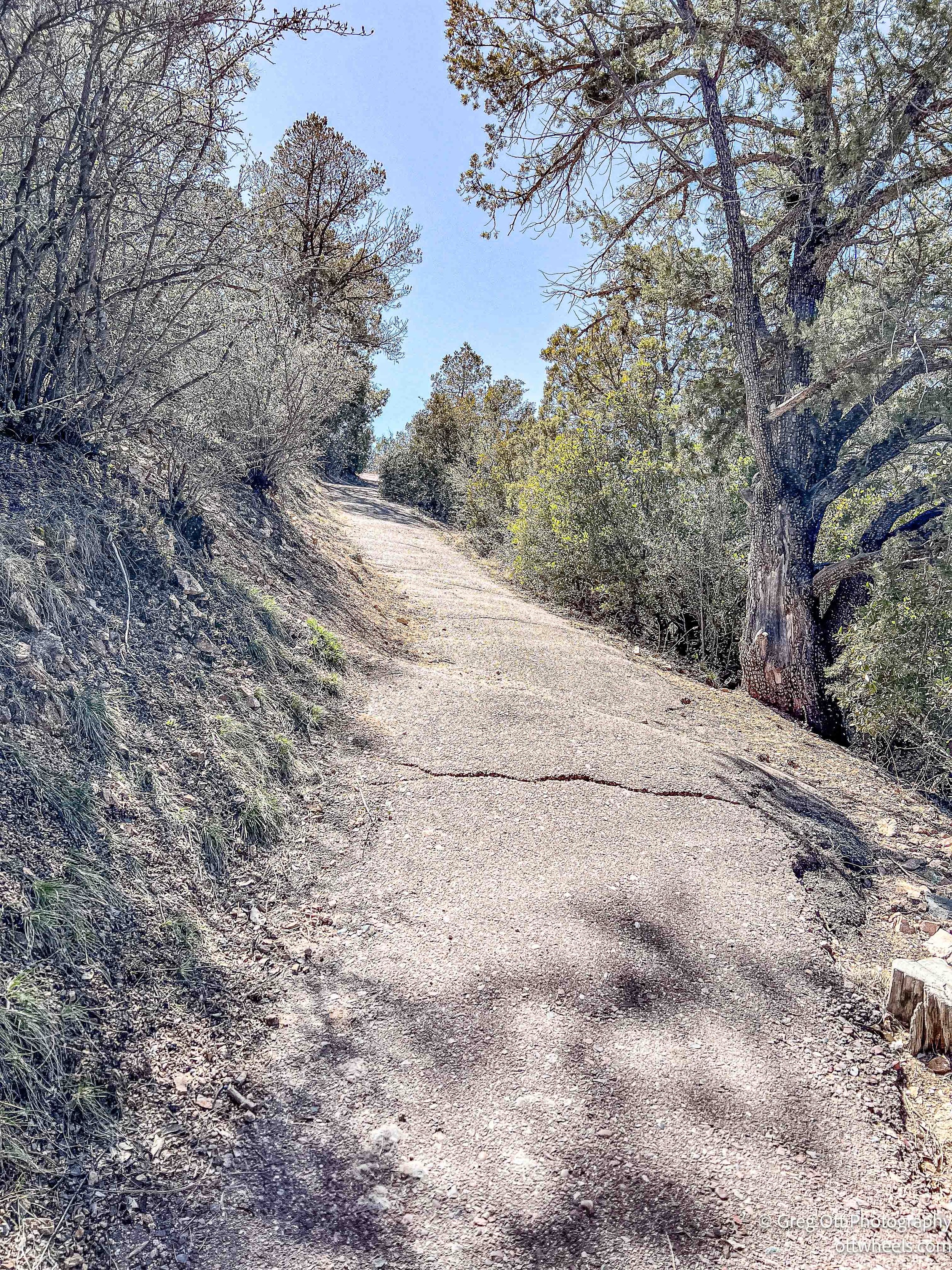


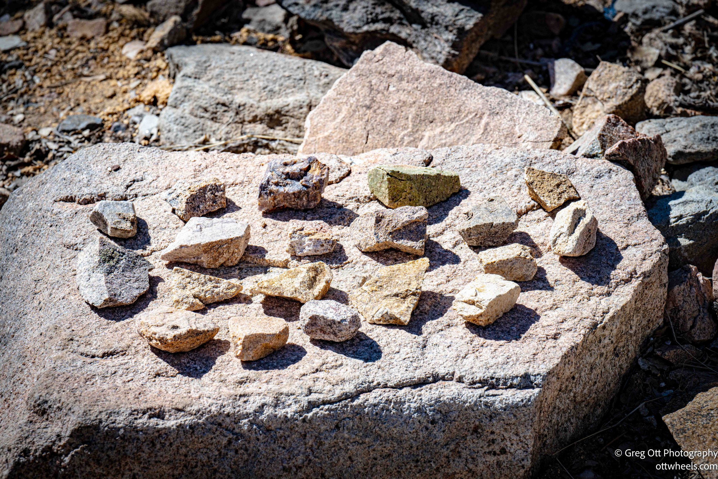
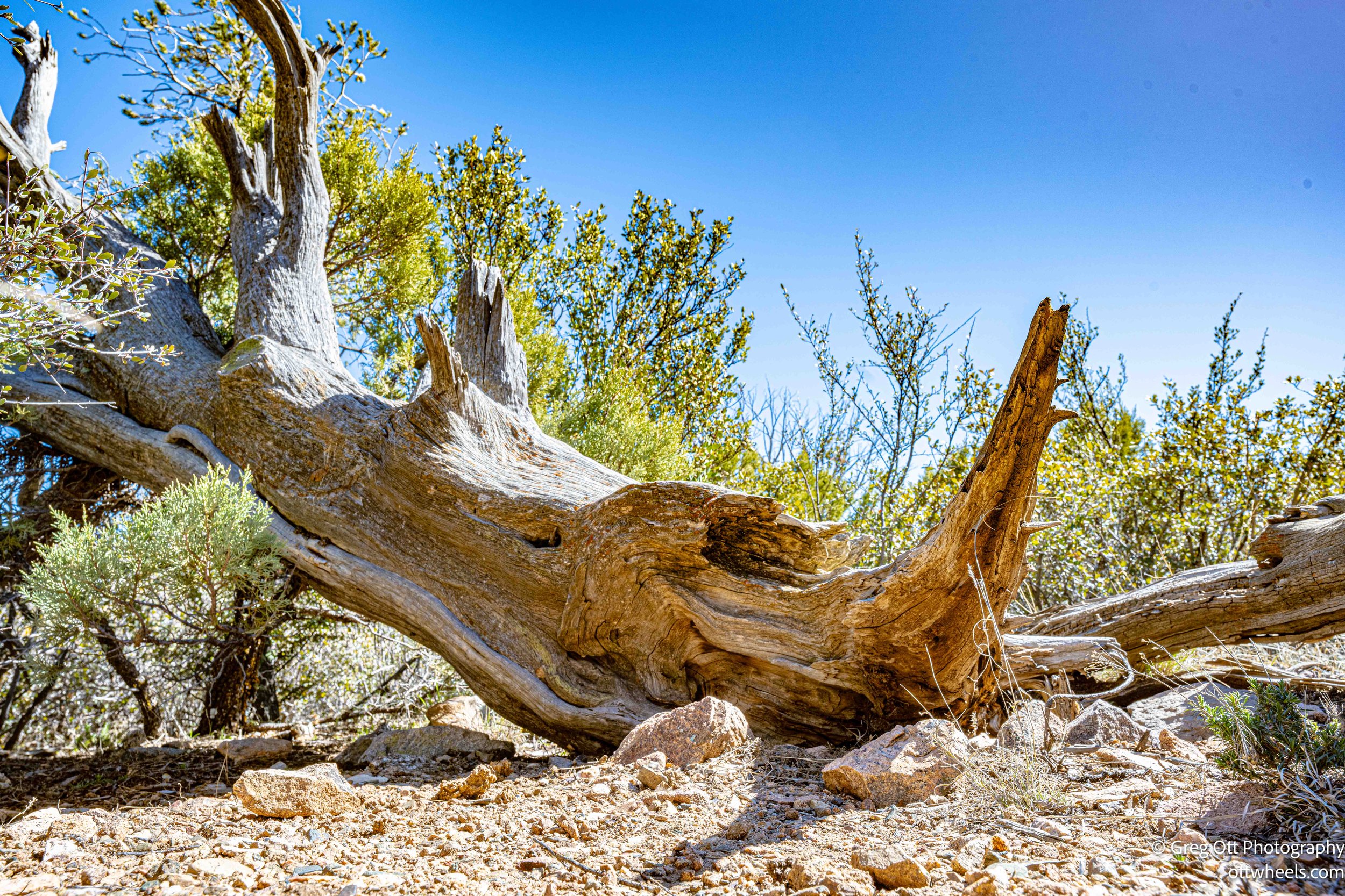
At the top of Thumb Butte, hikers can take in panoramic views of the Prescott area, including the city of Prescott, Watson Lake, and the San Francisco Peaks in the distance. I stopped here and talked to a couple that lived nearby. He told me I looked like their local weatherman. He assured me that was a compliment. We all laughed.
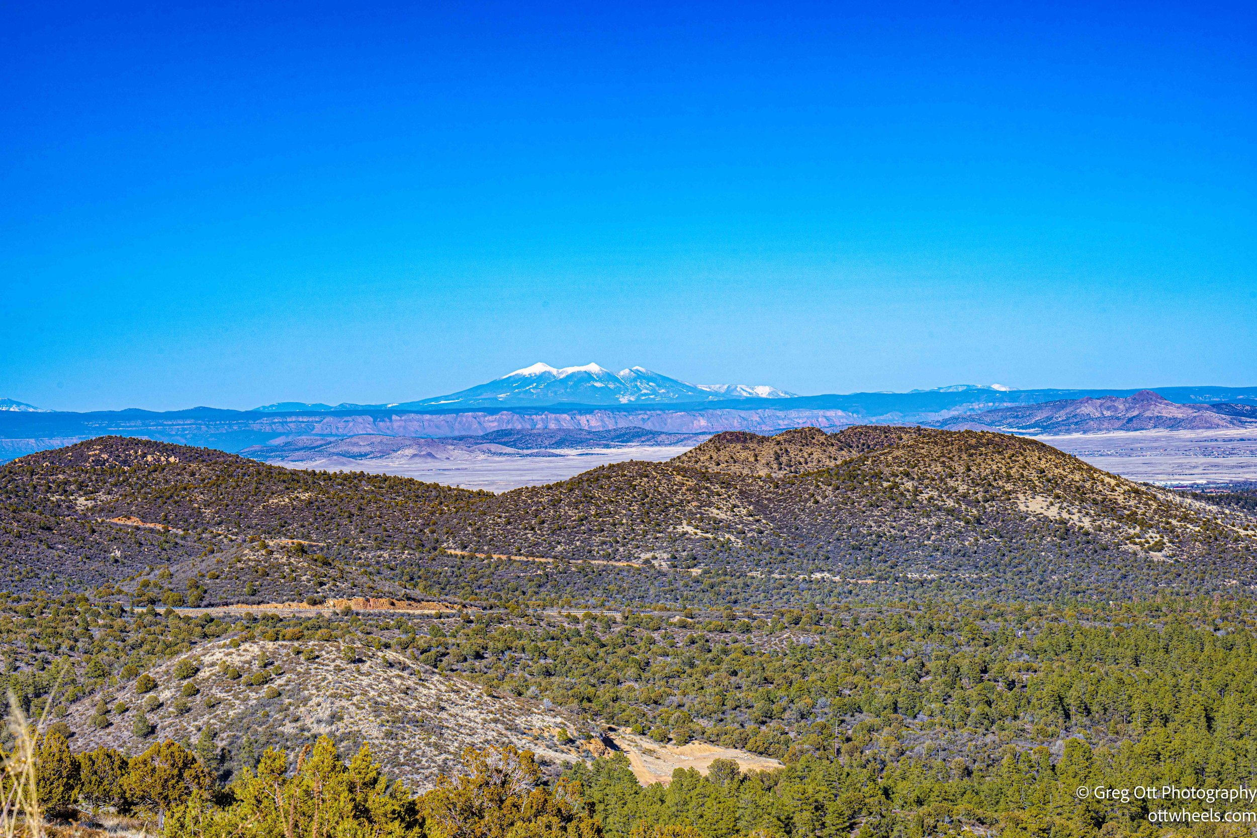
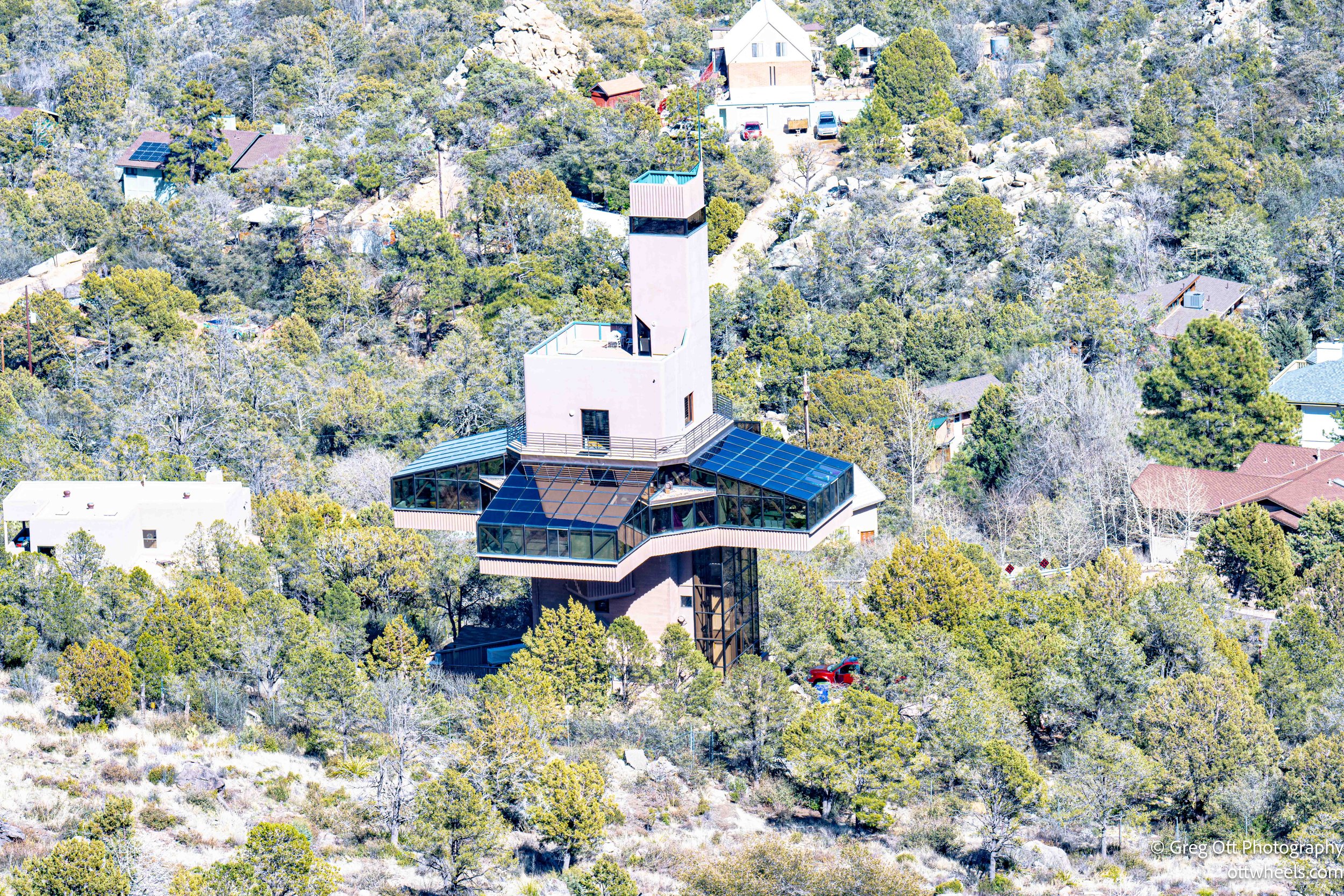
After taking in the views, I completed the loop by descending back down the other side of the butte, passing through more stands of pine, scrub oak and many alligator junipers. I periodically stopped to make a few photos.
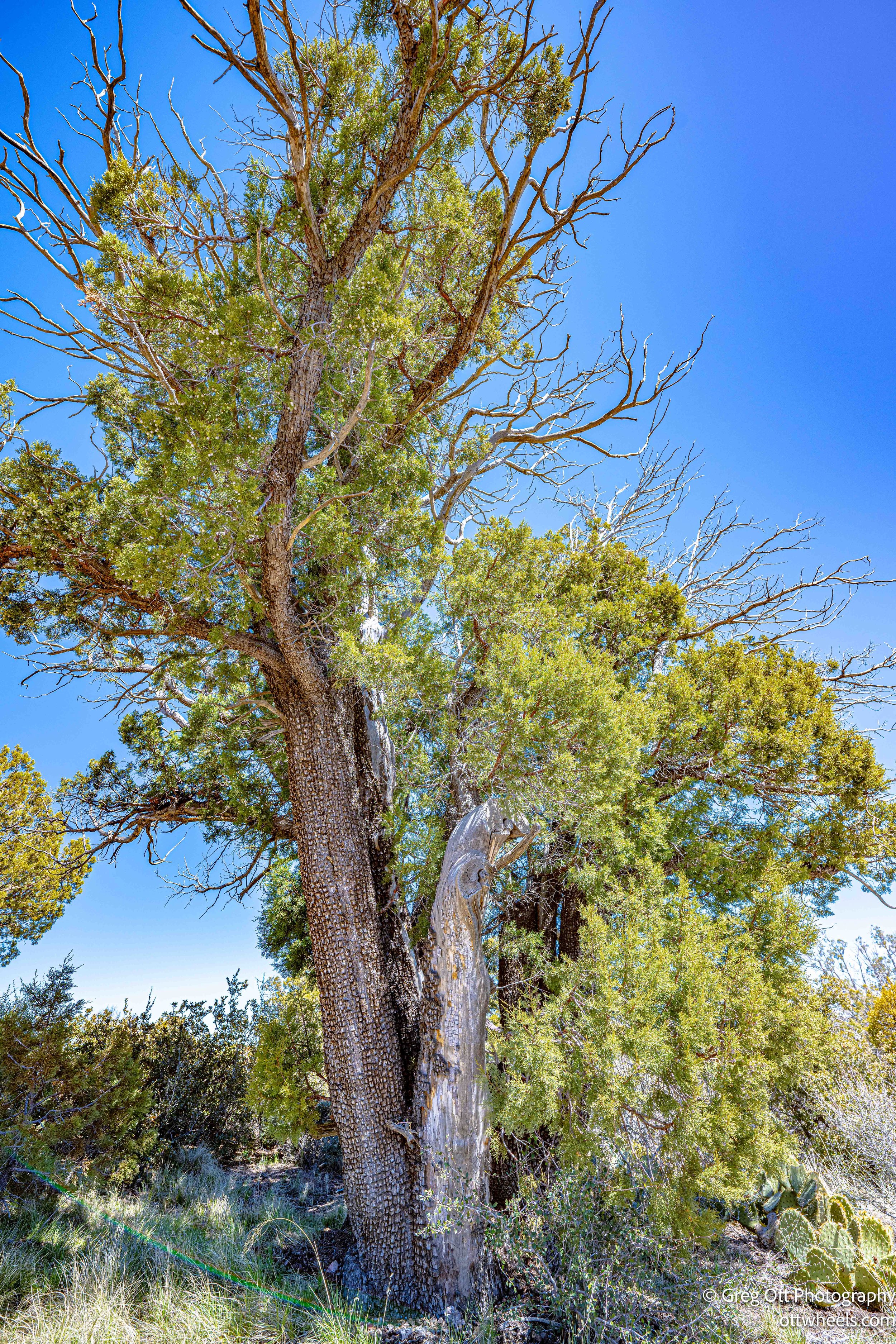
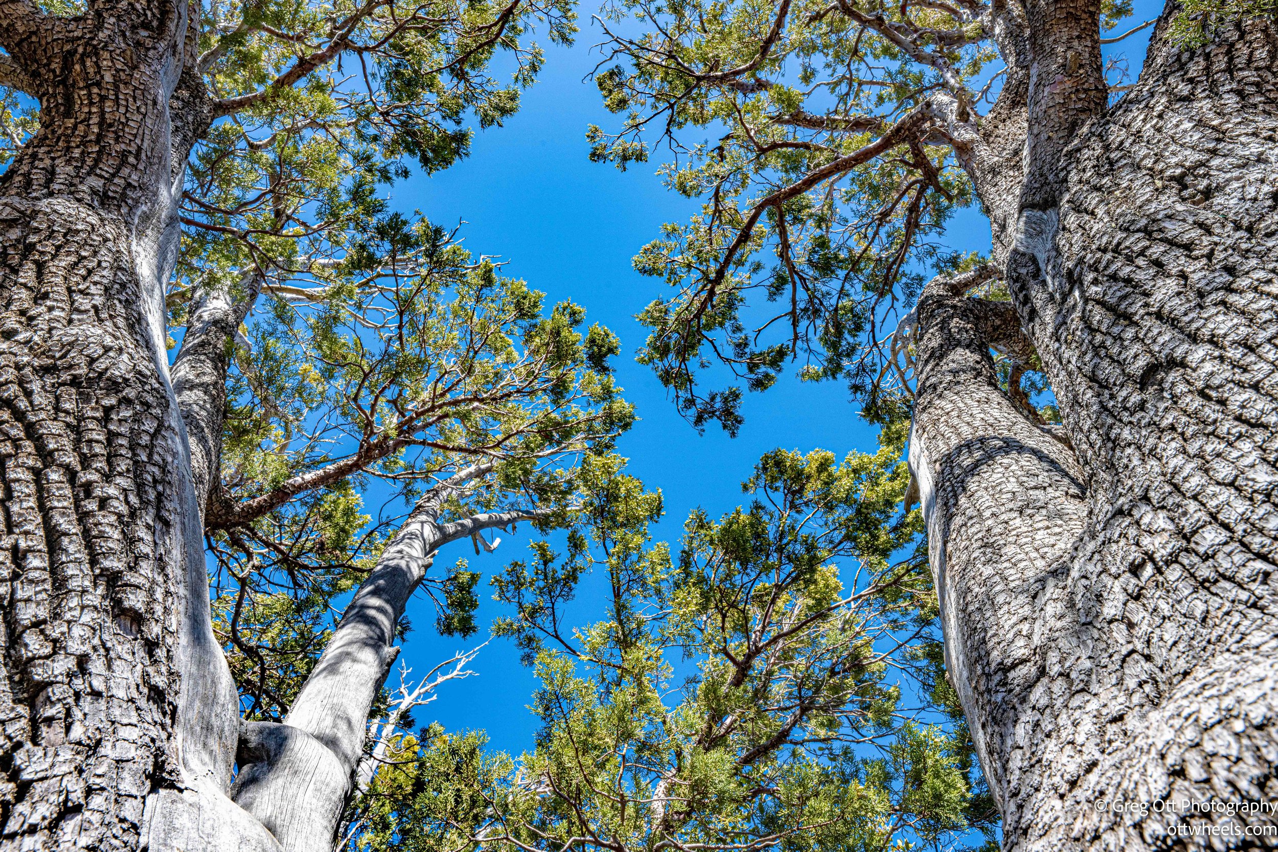
I was glad to have the Outback with X-Mode for the road near the trail. The route I took led me for miles through some very rutted dirt roads. After getting though the mud, running water and deep ruts, I stopped along the way for more photographs.
I found my way back to the campsite at Prescott National Forest and made dinner. It was quiet again and I sat outside while the sun set and read. I watched some March Madness basketball and drifted off. Go UConn!!
